Lewis and Clark Ride: more Montana
Just checking in, over 1700 miles in and at this stage I am roughly halfway to the Pacific.
Like the legendary explorers whose route I am recreating, I’ve had my share of equipment issues. My PROFORM Tour de France bike’s motor that tilts the bike frame up and down when ascending or descending hills broke ages ago, and they sent me a replacement. I haven’t installed the new part yet, because I prefer the bike not pitching up and down, and I don’t want to break into the guts if I don’t have to.
The iFit software has had the occasional glitch during the trip, causing my ride data to disappear. But again, that’s not a major deal.
And lately, the Google Streetview scenery hasn’t appeared on my bike’s display — I can only see the overview map. I could probably clear the program’s memory which seemed to fix a few glitches in the past, but I figured out on the fly that my tablet can connect to iFit’s website where I can track my workout and enjoy the view on a better screen.
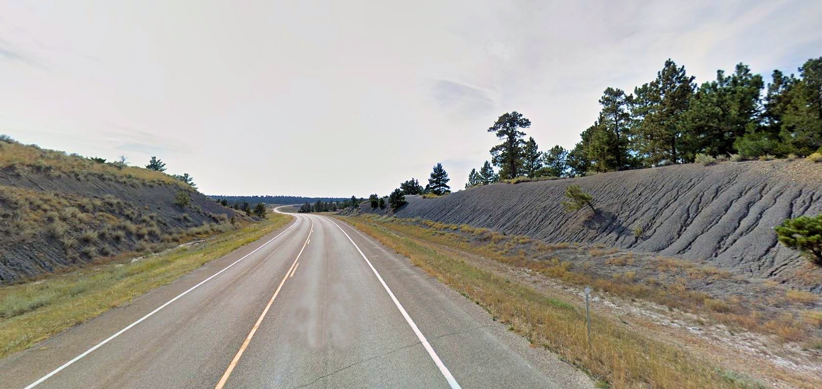
All things considered, this bike has been a worthwhile investment for someone who can’t get away from the house to work out like I used to. Life gets in the way, and my ride has taken a LOT longer than I anticipated. But it’s really quite something to simulate an actual bike ride on the terrain you want to ride in real life. I would prefer to ride in the sunshine in fresh air, but I don’t have to risk a fatal traffic accident and that’s a serious plus.