Lewis and Clark (Virtual) Ride: Biking the Rhineland
In this installment, I pedaled my way through the Rhineland, stopping short of Jefferson City. My route took me just north of Hermann, Mo., which is named after the German hero Hermann der Cherusker – or Arminius as he was known to the Romans. In 9 A.D., Hermann commanded the coalition of Germanic tribes that annihilated three Roman legions (killing some 20,000 troops) in the Battle of the Teutoburg Forest – one of the most decisive victories in military history.
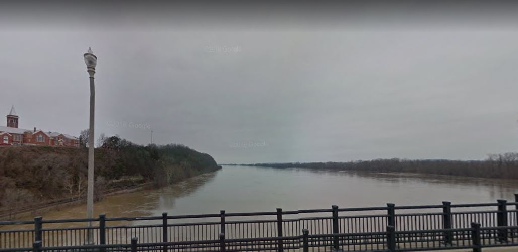
1,828 years later (and a couple decades after Louis and Clark paddled through) the German Settlement Society of Philadelphia found the region similar to the wine country around the Rhine River and established the settlement of Hermann, Missouri. Hence the nickname, the Rhineland.
Private Joseph Whitehouse, recruited by Lewis from Capt. Daniel Bissell’s company of the First Infantry Regiment at Fort Kaskaskia, noted in his journal that the Gasconade River (which enters the Missouri River just west of Hermann) was 104 miles upriver from where the Corps of Discovery began their expedition. Over that distance, the Missouri river drops 115 feet between the Gasconade and the Mississippi Rivers – roughly a foot of drop per mile.
Famous Revolutionary War general George Rogers Clark established Fort Kaskaskia in 1778 when he and 200 men took the strategic area from the British. 25 years later, his younger brother William arrived at Kaskaskia with Capt. Lewis, where the explorers acquired Pvt. Whitehouse and ten other soldiers that volunteered for the expedition. The French colonial town was a major city in its day; some 7,000 people lived in Kaskaskia at the beginning of the 19th Century – twice the population of Washington, D.C.
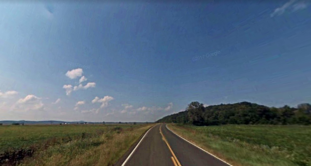
Before coming to the end of this segment of the trip, I traveled through a small village named Mokane. The odd name is taken the railroad that went through in the 1890s – the Missouri, Kansas, and Eastern Railway (Mo. + Kan. + E. = MoKanE). The Missouri, Kansas, and Eastern became the Missouri, Kansas, and Texas Railway after a few years, commonly referred to as the KT (the company’s stock symbol) or “Katy” Railroad. Much of my route so far through Missouri has been paralleled by the Katy Trail State Park, which is over 200 miles of former rail lines turned into a bicycle trail.
Capt. Clark complained to his journal that the “Musquetors” (mosquitos) were “verry bad” at this stage. Fortunately for me, I haven’t got bit yet or had to fire the swivel gun to ward off potential enemies. My biggest issue so far has been the motor that controls the bike’s incline (to match the real-world grade) gave out on me, but fortunately the company quickly sent a replacement. Lewis and Clark had no cell phones, but even if they did, technical support hadn’t been invented yet, so they would probably have had to make their own motor out of deer hides and Musquetor lips.