Lewis and Clark (Virtual) Ride: The Weinstrasse
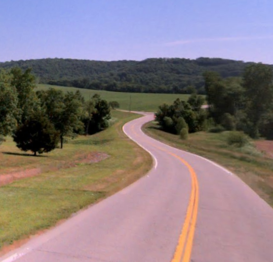
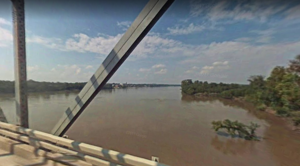
The third leg of my virtual ride across the United States continues along a stretch of Highway 94 known as the Weinstrasse (German for “wine road”). To my left is the Missouri River and the scenery shifts from rolling, scenic hills through Missouri wine country to flat river bottomland. Today, the Charette Creek flows into the Missouri River across from Washington, Mo. – which was named after George Washington, who at the time was seven years into retirement from government service when the Corps of Discovery passed through the area. Back then, a Spanish log fort named San Juan del Misuri (St. John of the Missouri) occupied the site of what would become the settlement of Washington’s Landing when a ferry set up operation in 1814.

In 1804, the Charette Creek emptied into the Missouri some seven miles upstream. When Lewis and Clark set up camp in this area on May 25, 1804, this was the site of a tiny French village named La Charette – the last white settlement the Corps of Discovery would meet on their trip west. Nearly two-and-a-half years later, the weary explorers were overjoyed when they reached La Charette, knowing they were almost to the finish line.

Today La Charette is known as Marthasville, where Daniel Boone was buried. In 1820 the legendary frontiersman and militia colonel during the Revolutionary War was interred alongside his wife Becky in an unmarked grave at the Old Bryan Farm Cemetery, near his daughter Jemima’s property. What was believed to be his remains were dug up in 1845 and relocated to Kentucky, but since the folk hero’s final resting place was unmarked until 1830 and the cemetery was crowded, it is entirely likely that the remains transferred to Kentucky weren’t Boone’s.
I ended my ride around the spot where Lewis and Clark reached on May 27, 1804. So far, I am 98.7 miles into my 3,700-mile journey. Click here for other posts on my virtual Lewis and Clark ride.